Moylussa
Moylussa, the highest point in County Clare, is a scenic out and back hike overlooking Lough Derg and the surrounding countryside. The route passes through quiet woodland, open bog and rocky ground before reaching the summit, where the views are especially impressive on a clear day. It’s a moderately challenging walk, with some steep or uneven sections and often wet ground, so sturdy footwear is recommended.
-
Parking:
2 Options:Twomilegate: Car Park Link
Ballycuggaran: Car Park Link
Start of Hike:
Google Maps: Start Link -
Moylussa
Distance: 8-10km
Difficulty: Moderate
Trail: Stone Trail/Boardwalk -
Morning
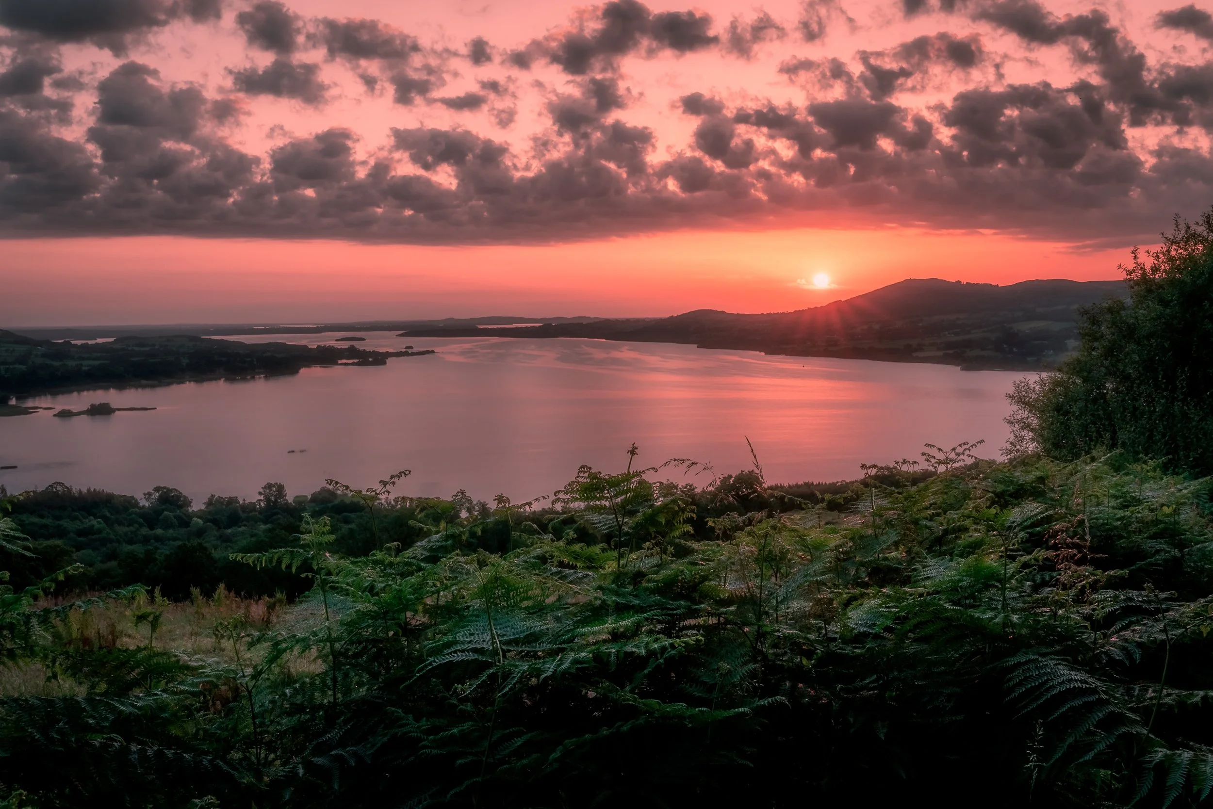
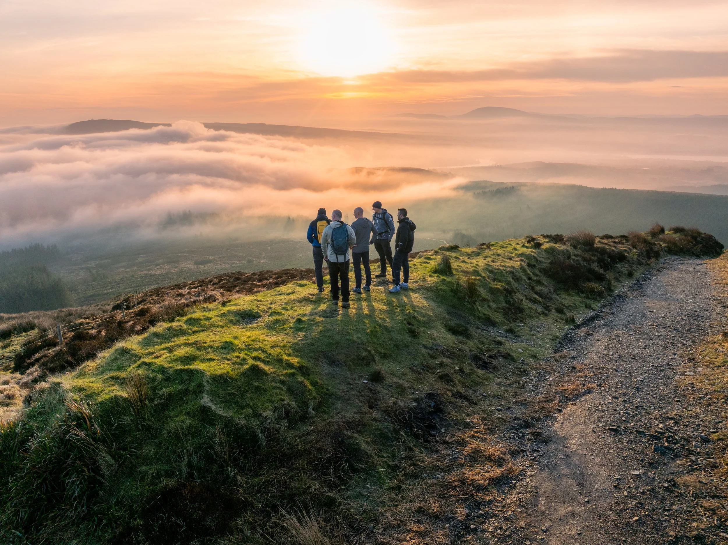
Morning time on a clear day is amazing to explore Moylussa with spectacular view of sunrise down Lough Derg -
Start at the Entrance
It is a steep climb through a wooded area for 0.5km
Take the right turn when you hit the road
Walk for 150m until you see a small trail to your right and take this
Walk for 200m through this trail until you hit the gravel road again
Take the small trail across the road for another 100m until you hit the road again
Again another small trail will be across the road to take for another 100m
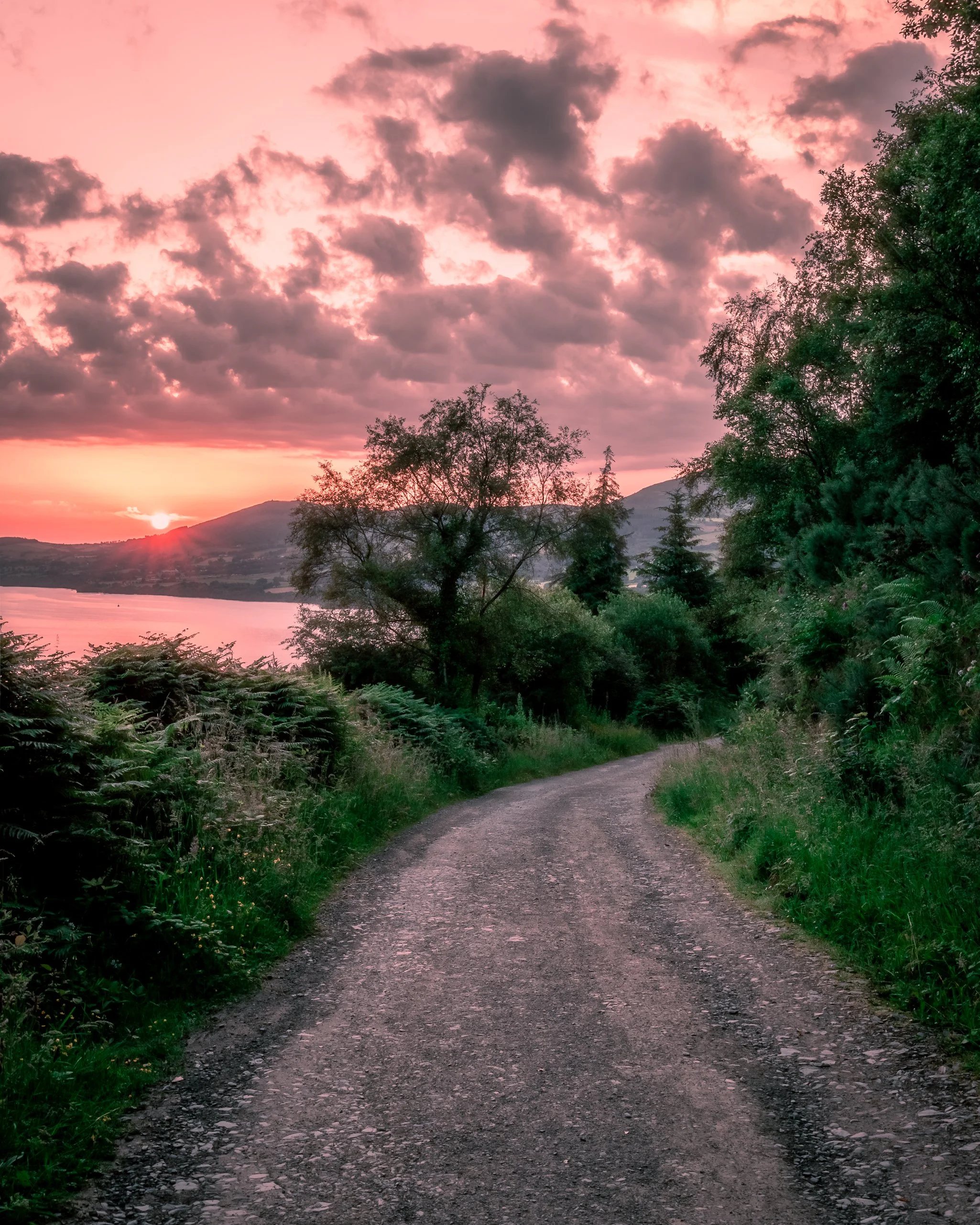
When you hit the road again go right. Follow this road for 1.3km until you meet a Y junction.
Take the left at this Y junction and walk for 1km until you come across a small trail to the right (There is a sign here)
Take this trail for 1km (This is the toughest part of the hike)
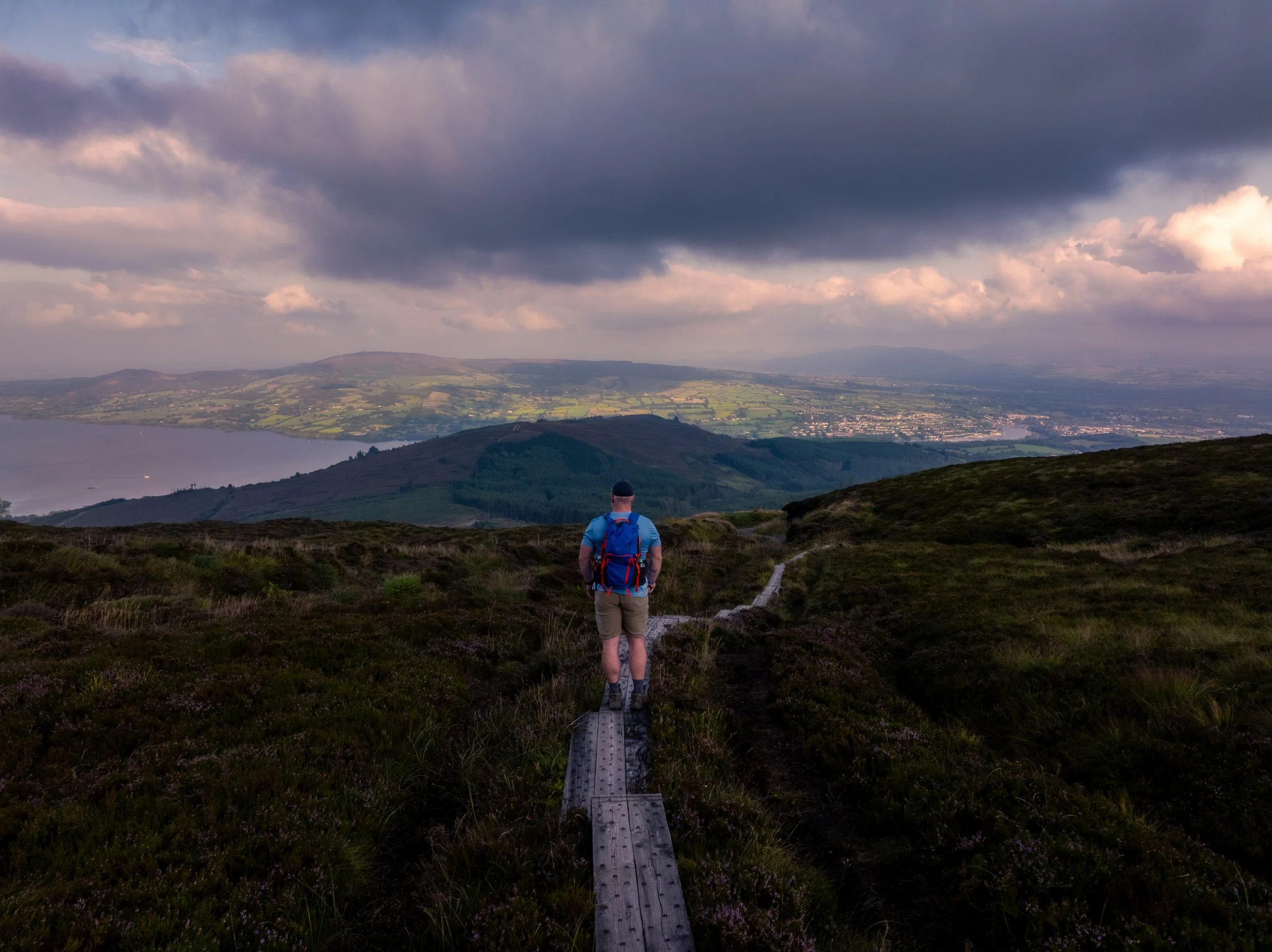
You will then come across the boardwalk which brings you all the way to the summit
To come back then you follow the way the you came up.
-
Multiple viewpoints along the way up looking across Lough Derg
My favourite part is coming down the boardwalk and the steep incline with views of Killaloe/Ballina visible on clear days